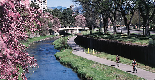
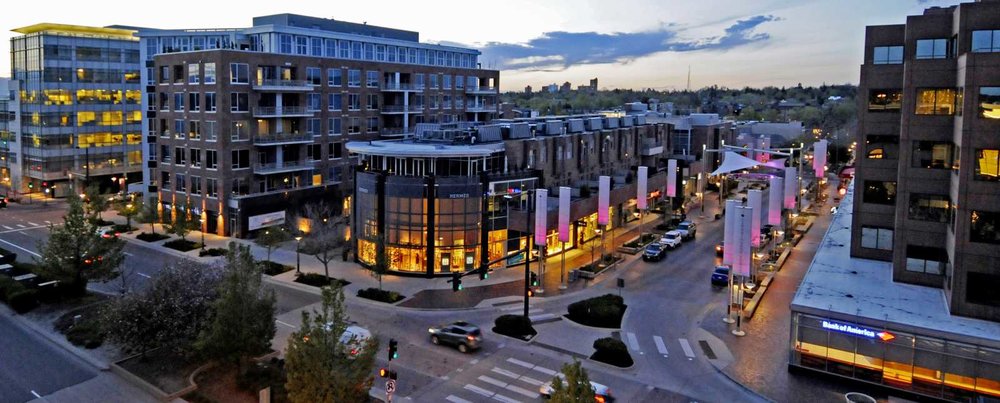
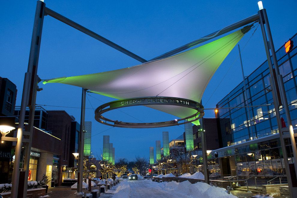
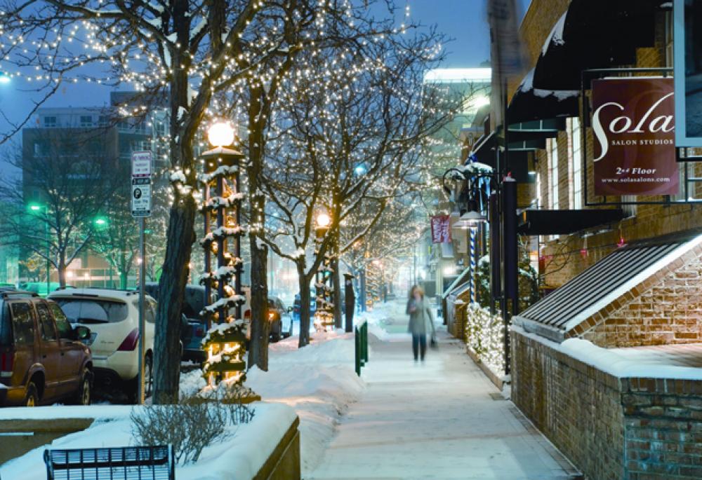
The neighborhood is located near the geographic center of the City and County of Denver and is a mixture of dense urban development and tree lined residential streets. It is bounded by the Cherry Creek on the south, East Sixth Avenue to the north, University Boulevard and Colorado Boulevard on the west and east, respectively. The neighborhood takes its name from the nearby Cherry Creek running along the south side of the neighborhood.
Because Denver was first settled along the confluence of the South Platte River and Cherry Creek, the term "Cherry Creek" is often used in business names, e.g. Cherry Creek Dentistry, to designate their affiliation with the metropolitan Denver area. Many of these businesses are not, however located in the Cherry Creek neighborhood. The Cherry Creek School District which is located in western Arapahoe County, Colorado is also sometimes confused with the Cherry Creek neighborhood because of its name, in spite of it not being located in Denver.
Cherry Creek is serviced by four major traffic arteries making it an easily accessible neighborhood by car. First, Speer Boulevard from Downtown Denver and LoDo becomes East First Avenue in Cherry Creek. Running along the eastern and western boundaries of the neighborhood are University Boulevard and Colorado Boulevard which allow connections from Interstate 25. Lastly, the East Seventh Avenue Parkway skirts the north side of the neighborhood allowing crosstown traffic to get to Cherry Creek. Cherry Creek is also serviced by the Regional Transportation District (RTD) public bus system. It has five main routes that service various parts of the neighborhood. These routes are the 1, 3, 46, and the 3 and the 83 limited.
